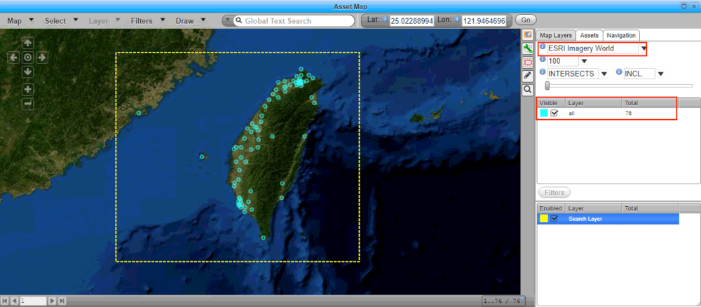
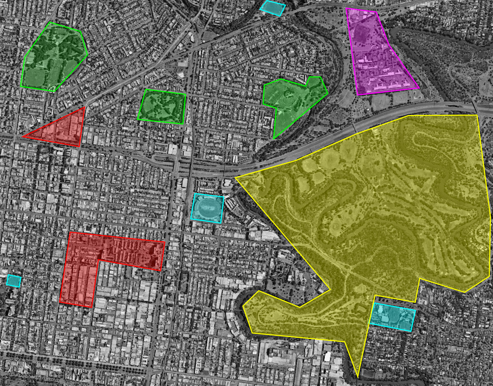
Using geospatial data to uncover patterns to focus resources on the ground at the right place and time.
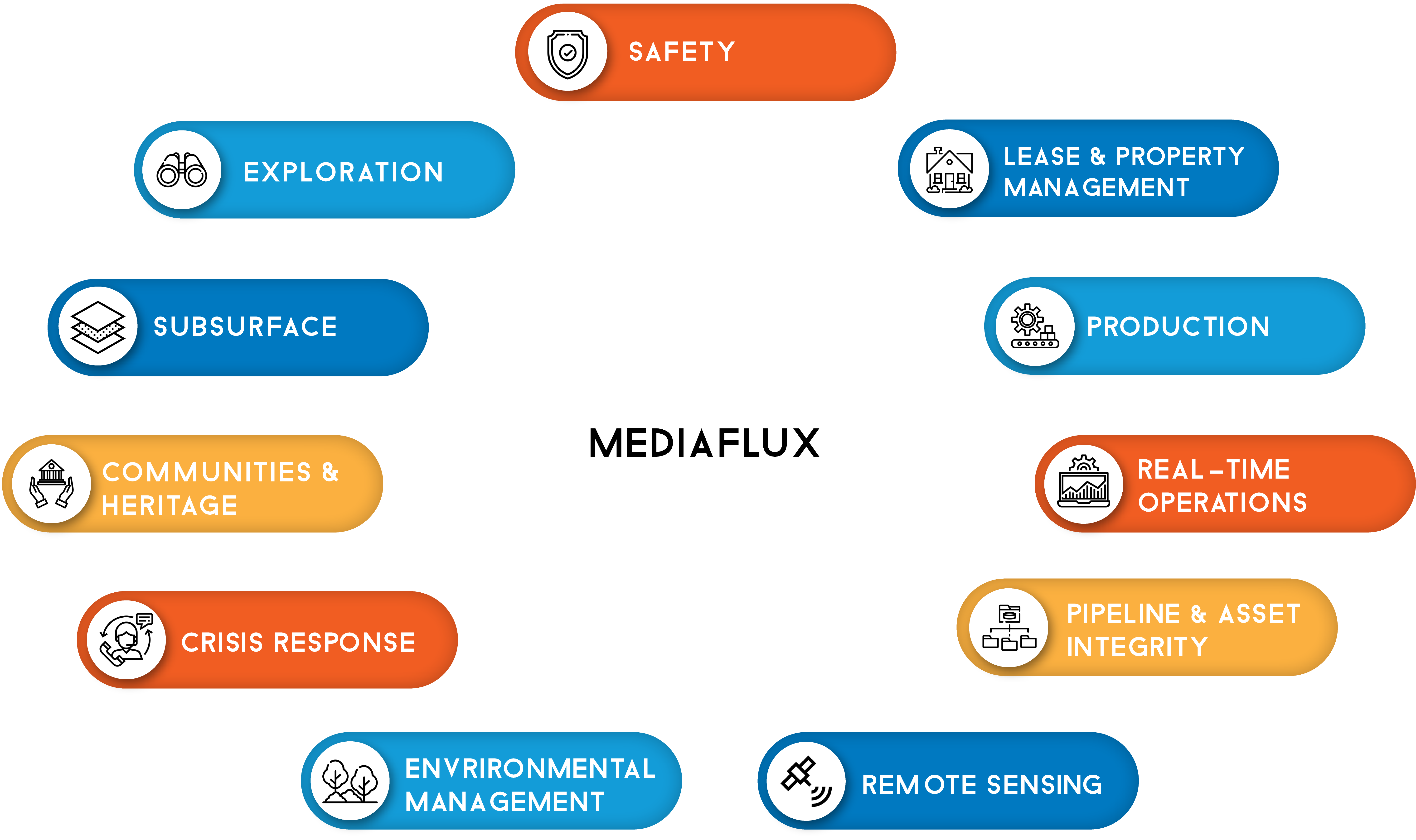
The explosion of data from satellites, land- and sea-based sensors, and IoT brings myriad opportunities to solve complex, multi-variable multi-dimensional problems in ways previously unthinkable. Not simply the domain of government agencies, finding patterns and making sense of signals buried in the noise of colossal data sets is integral to a diverse range of industries. From agriculture and environment, to resource exploration and development, to construction and global shipping and beyond, streamlined workflows, data exploitation and cost monitoring are keystones to success. Mediaflux facilitates this seamlessly.
Simply dragging and dropping data into Mediaflux allows any enterprise to leverage automatic metadata extraction (this is the crux of Mediaflux operation) to know what geospatial data they have and effectively search and manage diverse data and workflows – from land, air, sea and space.